Snow is arguably one of nature’s most beautiful yet deceptive phenomena, especially when it decides to crash the party just as we’ve swapped our heavy coats for light jackets. While the calendar might insist that spring has arrived, the atmosphere over much of the United States seems to have missed the memo. We are currently witnessing a dramatic “tug-of-war” between seasons, where frosty mornings and biting winds are making us double-check our weather apps in disbelief.
f you thought you were done with your shovel, think again. From the peaks of Colorado to the plains of the Midwest, a significant winter-style event is unfolding, reminding us that Mother Nature often has a wicked sense of humor. This guide will break down the current weather alerts and provide a comprehensive manual on how to handle extreme winter conditions effectively.
Current Snow Forecast: Colorado and the Continental Tug-of-War
The National Weather Service (NWS) is currently issuing a series of stern warnings that should not be taken lightly. We aren’t just looking at a light dusting that melts by noon; we are facing “winter’s greatest hits” replayed in late April. In areas like Pueblo, Colorado, the forecast is a messy cocktail of freezing drizzle, light snow, and plummeting temperatures.
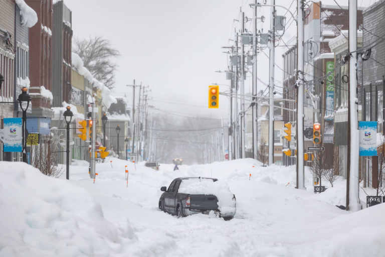
According to meteorologists, the timing of this event is particularly troublesome. The accumulation is expected to persist into early next week, with some high-elevation areas potentially seeing up to two feet of fresh powder. For those commuting on Monday, April 27, the NWS warns of hazardous road conditions that could turn a routine drive into a dangerous ordeal.
Note from the NWS: “Winter storm warnings and hazardous weather outlooks are in effect. Travelers should prepare for sudden changes in visibility and road surface grip.”
The “Sweet Spot” for Accumulation
Forecasters at SnowBrains have identified a specific window—from the weekend through Tuesday evening, April 28—where the heaviest totals will hit. While some ski resorts like Arapahoe Basin and Loveland are still operational and welcoming the late-season boost, most other mountains have already shuttered their lifts for the season.
- Isolated Peaks: Expect 15 to 24 inches.
- Common Ranges: 5 to 12 inches.
- Snow Line: Elevation levels will hover between 8,000 and 10,000 feet, occasionally dipping lower during intense bursts.
Meanwhile, the rest of the country isn’t escaping the chaos. While the mountains deal with frozen precipitation, the central U.S. is bracing for severe thunderstorms, large hail, and wind gusts exceeding 55 mph. This atmospheric instability creates a risk of tornadoes and flash flooding, proving that spring is less of a “gentle ramp” and more of a chaotic rollercoaster this year.
Essential Preparation for Heavy Snow Accumulation
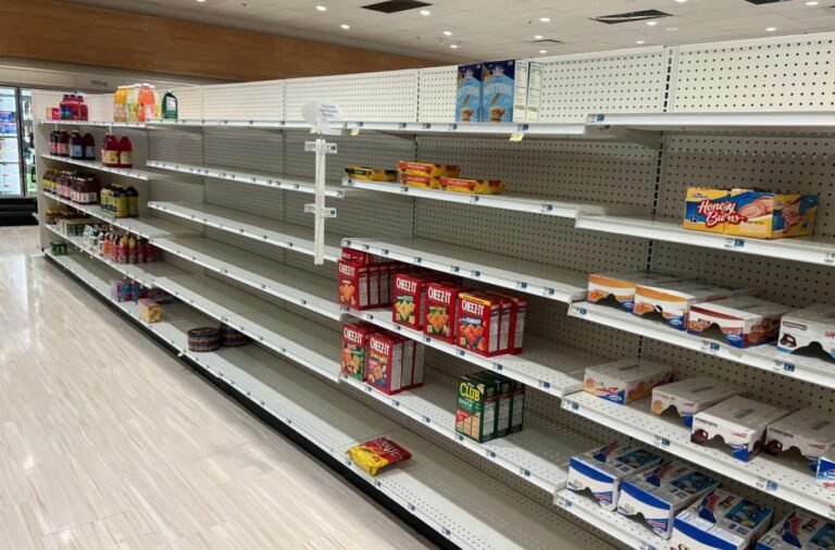
When a major snow event is forecasted, preparation is your best defense. You don’t want to be the person rushing to the grocery store when the flakes are already falling and the shelves are empty. Preparation should be divided into three categories: your home, your vehicle, and your “go-bag.”
1. Hardening Your Home
Heavy, wet precipitation (often called “heart-attack snow” because of its weight) can wreak havoc on infrastructure.
- Insulate Pipes: Even in April, a sudden deep freeze can burst pipes. Use foam insulation or let faucets drip.
- Check the Roof: If you have an older structure, keep an eye on accumulation. Two feet of wet powder can weigh thousands of pounds.
- Backup Power: High winds (55 mph+) combined with frozen precipitation often lead to downed power lines. Ensure your generators are fueled or your power banks are charged.
2. The Winter Emergency Kit
Every household should have a kit that can sustain them for at least 72 hours without power or external help.
| Item | Importance | Why You Need It |
| Water | Critical | 1 gallon per person per day. |
| Non-perishable Food | High | High-calorie snacks help the body produce heat. |
| Flashlights/Batteries | High | Avoid candles to prevent fire hazards. |
| First Aid Kit | Critical | Include any necessary prescription medications. |
| Manual Can Opener | Essential | Don’t get stuck with food you can’t open! |
Navigating the Hazards of Driving in Deep Snow
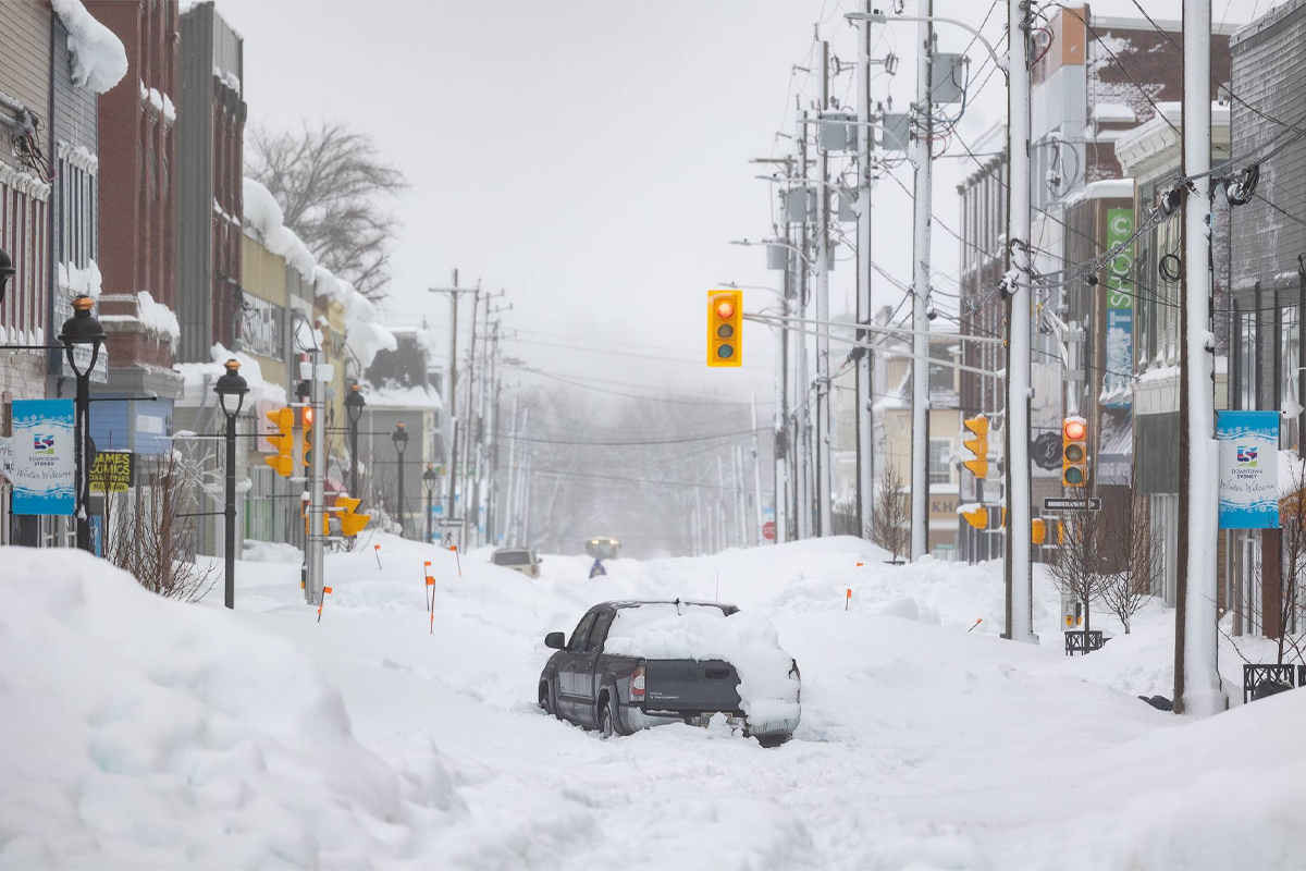
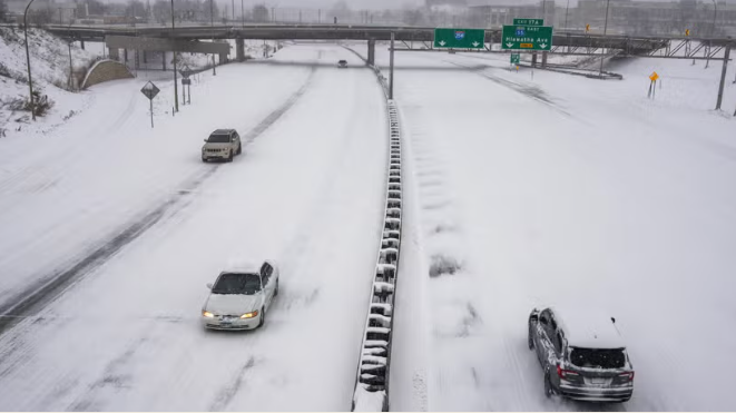
The most dangerous place to be during a snow storm is on the road. However, if travel is unavoidable—such as during the predicted dangerous Monday morning commute—you must be equipped with both the right gear and the right mindset.
Vehicle Preparation
Before you even turn the key, ensure your car is “winterized,” even if it feels like spring.
- Tire Pressure: Cold air causes tire pressure to drop. Check yours before hitting the road.
- Fluids: Fill your windshield wiper fluid with a winter-grade solution that won’t freeze on contact.
- Battery Health: Cold starts are hard on old batteries. If yours is more than three years old, get it tested.
Tactical Driving Tips
If you find yourself skidding on a patch of black ice or stuck in a drift, remember these rules:
- Steer into the Skid: If your back end slides right, gently turn your steering wheel to the right.
- Increase Following Distance: In dry conditions, you need 3 seconds; in frozen conditions, you need 8 to 10 seconds.
- Brake Gently: If you have ABS, apply firm, steady pressure. Do not pump the brakes.
- The “Stay With the Car” Rule: If you get stuck in a remote area, stay inside your vehicle. It is your primary shelter. Only run the engine for 10 minutes every hour to stay warm, and ensure the exhaust pipe is clear of drifts to prevent carbon monoxide poisoning.
Protecting Your Home and Health from Snow Impacts
While it looks pretty through a window, snow presents significant health risks that people often underestimate. From the physical strain of removal to the invisible threat of hypothermia, staying safe requires more than just a warm coat.
The Physical Toll of Shoveling
Did you know that the risk of a heart attack increases significantly during and after a storm? This is because the cold air constricts arteries, while the physical exertion of lifting heavy powder increases heart rate.
- Push, Don’t Lift: Whenever possible, push the drifts aside rather than lifting them.
- Take Breaks: Set a timer for 15 minutes. Work for 15, rest for 10.
- Dress in Layers: This allows you to regulate your body temperature. If you sweat, you get damp; if you get damp, you get cold.
Recognizing Hypothermia and Frostbite
In high winds (like the 55 mph gusts predicted), the wind chill factor can freeze exposed skin in minutes.
- Frostbite: Look for “waxy” or white-looking skin on fingers, toes, and nose. If found, soak in lukewarm (not hot) water.
- Hypothermia: Symptoms include shivering, exhaustion, confusion, and fumbling hands. This is a medical emergency. Move the person to a warm room and wrap them in blankets.
The Aftermath: Recovering Safely from a Snow Event
Once the snow stops falling and the winds die down, the work isn’t over. The recovery phase is just as critical for long-term safety.
1. Inspecting for Damage
Walk around your property and look for:
- Downed Lines: Never approach a downed power line. Assume it is “live” and dangerous.
- Ventilation Blocks: Ensure your dryer vents and furnace exhausts are not buried. Blocked vents can cause carbon monoxide to back up into your home.
- Ice Dams: Watch for icicles forming along the eaves. This could indicate an ice dam, which forces melting water back under your shingles and into your walls.
2. Helping Your Community
In these late-season storms, elderly neighbors may have already put away their winter gear or might be caught off guard. A quick check-in can be life-saving. If you have a snowblower, clearing a neighbor’s sidewalk is one of the best ways to build community resilience.
3. Understanding the “Spring Meltdown”
Because this is a late-season event, the ground underneath the accumulation may already be thawed or saturated. When 15 to 24 inches of powder melts rapidly as temperatures rise later in the week, it creates a massive influx of water.
- Check Your Sump Pump: Ensure it is operational before the melt begins.
- Clear Storm Drains: If you have a drain in the street near your house, clear the ice away so the meltwater has somewhere to go. This prevents localized street flooding.
Why Late-Season Snow Occurs: The Science of Spring Storms
It might feel like a freak occurrence, but late snow is a documented meteorological phenomenon often caused by a “blocked” atmospheric pattern. In spring, the temperature contrast between the warming southern states and the still-frozen Arctic is at its peak. This creates a powerful jet stream that can dip far south, dragging cold air into regions that were just enjoying 60-degree weather.
These storms are often more “productive” in terms of moisture because warmer air holds more water vapor. This is why an April storm often drops 15 inches of heavy, wet slush, whereas a January storm might only drop 5 inches of light, dry powder.
Summary Checklist for the Current Storm
- Monitor Alerts: Stay tuned to NWS Pueblo and SnowBrains for updates.
- Charge Devices: Do this before the 55 mph winds arrive.
- Check Commute: Plan for extra time or work from home on Monday, April 27.
- Pet Safety: Bring outdoor animals inside. If it’s too cold for you, it’s too cold for them.
- Fuel Up: Ensure your car has at least half a tank of gas to prevent fuel line freeze and provide heater runtime if stuck.
Ultimately, while the return of winter might be frustrating, it is a manageable event if you respect the power of the weather. Stay warm, stay informed, and remember: summer is coming, even if it’s taking the long way around!
About the Author